
30 June 2009
New Global Terrain Map
Subscribe to:
Post Comments (Atom)


This work is licensed under a Creative Commons Attribution 2.5 License.
click here to support the WCS Conservation Flight Program:
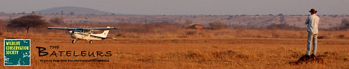
please specify that your contribution is for David Moyer.
No comments:
Post a Comment